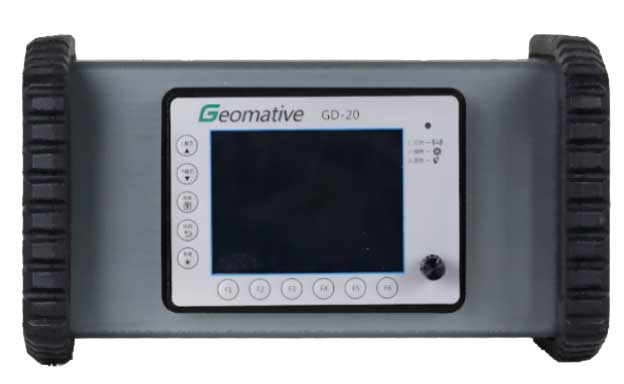
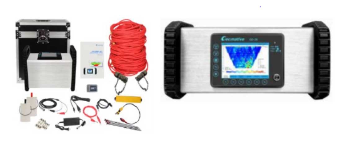
Resistivity Imaging System
A Resistivity Imaging System is a geophysical tool used to map the subsurface by measuring variations in electrical resistivity. It is widely used across many industries due to its ability to provide detailed information about underground structures, water content, and material composition. The GD-10 and GD-20 systems integrate electrical resistivity (RES), induced polarization (IP), and self-potential (SP) measurements into a single unit for comprehensive subsurface exploration. They support 1D, 2D, and 3D imaging using SP, IP, and RES data, making them versatile tools for detecting and mapping underground structures.
Technical Data:
| Transmitter | Receiver | ||
|---|---|---|---|
| Max. transmitting power | 7200W | Voltage range | ±24V |
| Max transmitting voltage | 1600V | Voltage precision | 0.1% ± 1uV |
| Max transmitting current | 6A | SP compensation | ±10V (auto) |
| Pulse width | 0.5, 1, 2, 4, 8, 16, 32, 64s (optional) | A/D converter | 24 bits |
| Pulse | Square wave | Stacking | 1–255 times |
| Transmitter Details | Receiver Details | ||
| Storage | ≥8GB for about 400,000 readings | Battery | Built-in 16.8V lithium battery for continuously 24 hours work |
| Charging voltage | 120~250V (50Hz or 60Hz) | External power | DC 24V~60V |
| Working temperature | -20°C ~ +70°C | Storage temperature | -20°C ~ +70°C |
| Dimension | 39cm * 20cm * 29cm | Weight | 8KGS |
| Display | 5.7 inch full color LCD, with backlight, 640*480 | Interface | A/B/M/N/∞, ERI test console, charger, external power, USB, RS485 |
Applications
- Groundwater exploration including freshwater zones & estimates water table depth, saline intrusion detection that maps boundaries between fresh & saline water in coastal area, assists in selecting optimal drilling locations.
- Mineral & Ore exploration including ore body detection helps to locate resistivity contrasts caused by metallic mineral deposits, Lithological mapping.
- Geothermal Exploration including Hydrothermal system mapping, alteration zones detection.
- Archaeological studies including buried structure mapping which detects ancient walls, foundations, non-invasive surveying that enables exploration without excavation.
- Tunnel & Infrastructure monitoring including underground utility detection and tunnel lining & groundwater ingress monitoring.
- Geotechnical & Civil Engineering including foundation assessment that determines soil stratigraphy and identifies bedrock depth, void & cavity detection.
- Environmental studies including contamination mapping, landslide & slope stability analysis that identifies weak zones, clay layers & water saturation, site characterization to assess subsurface conditions before construction of projects.
- Agriculture & Soil studies including soil moisture mapping, salinity monitoring.
Our Clients