Pump Storage Project
Pump Storage Project
Pumped Storage Projects (PSPs) are large-scale hydroelectric energy storage systems that play a critical role in energy grid stability, load balancing, and renewable energy integration. They work by using surplus electricity—typically generated during low-demand periods—to pump water from a lower reservoir to an upper reservoir. During peak demand, the stored water is released back through turbines to generate electricity, effectively acting as a giant rechargeable battery.
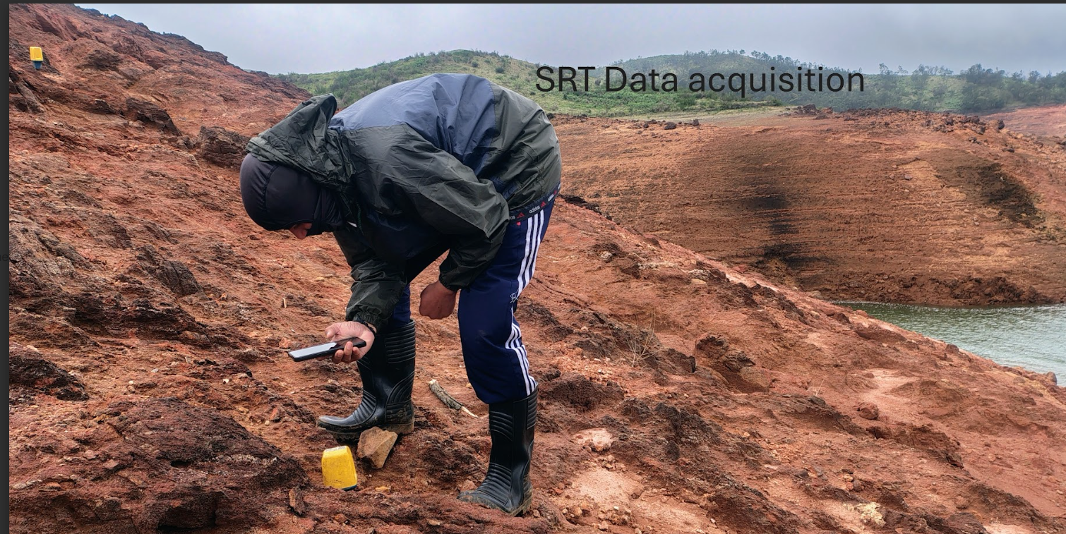
We provide specialized subsurface investigation and risk assessment services for pumped storage hydropower (PSP) projects, supporting all phases from planning to operation. We employ advanced geophysical techniques including seismic surveys and electrical resistivity imaging to characterize subsurface conditions at proposed sites. These methods enable the identification of rock types, fault zones, fracture systems, and groundwater pathways, which are critical for determining the suitability of locations for upper and lower reservoirs.
We also play a key role in geological risk assessment by detecting potential hazards such as fault reactivation and ground subsidence, which could impact both construction and long-term facility stability. Through our expertise, we help ensure the safety, performance, and environmental sustainability of pumped storage hydropower projects.
Importance of Site Investigation in PSPs
Before any construction or excavation begins, thorough subsurface investigations are essential. These investigations aim to:
- Understand geological, geophysical, hydrogeological, and geotechnical conditions
- Guide the design of reservoirs, tunnels, and powerhouses
- Ensure long-term safety and structural integrity
- Minimize risks and reduce construction costs
Role of Geophysical Techniques
While invasive methods like drilling and sampling provide direct data, non-invasive geophysical techniques are indispensable, especially in areas with limited borehole data or complex terrain. These methods offer high-resolution imaging and broader coverage, helping identify subsurface anomalies early in the planning process.
Common Geophysical Methods in PSPs:
- Electrical Resistivity Tomography (ERT): Identifies variations in soil and rock resistivity to map lithology, moisture content, and potential seepage zones.
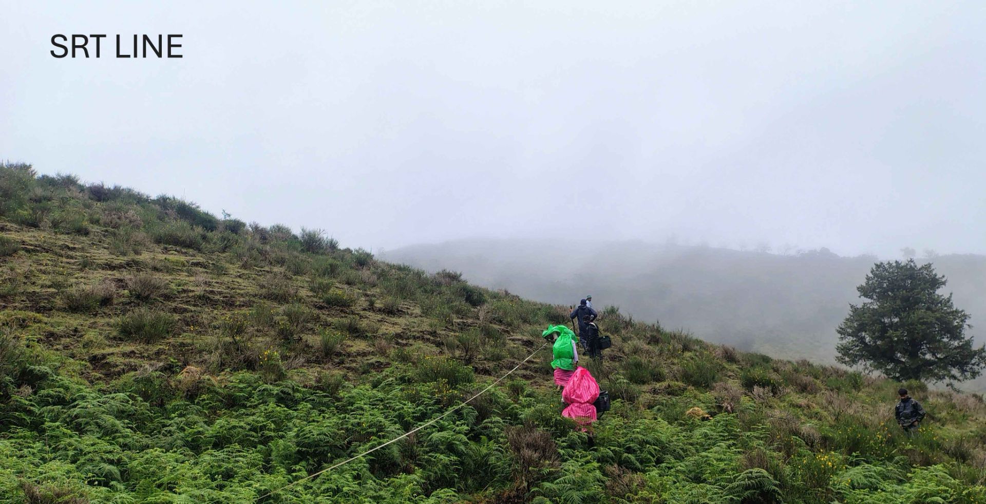
- Seismic Refraction Tomography (SRT): Measures seismic wave velocities to evaluate material stiffness, layering, and rippability.
- Multichannel Analysis of Surface Waves (MASW): Estimates shear wave velocity profiles for assessing seismic response and ground stiffness.
- Cross-Hole Seismic Tomography: Provides detailed imaging between boreholes to detect fractures, voids, or heterogeneities.