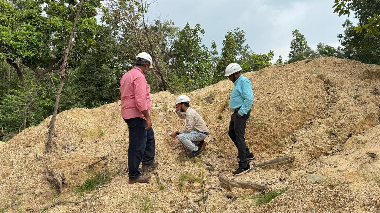
Mining
Geophysical Surveys in Mining play a central role in mineral exploration, resource estimation, and mine development. They allow for efficient, non-invasive detection of subsurface features, helping mining operations reduce exploration risk and cost. Geophysical surveys in mining play a crucial role in locating and mapping mineral resources beneath the Earth's surface. By detecting anomalies in the Earth's physical properties, these surveys help identify potential ore deposits more efficiently and cost-effectively, reducing the need for extensive drilling.
During the planning and development stages, geophysical methods contribute to creating detailed geological maps and 3D subsurface models, improving the understanding of geological structures, identifying faults, fractures, and potential hazards such as voids or water bodies. This not only supports effective mine design but also ensures safety and environmental compliance by monitoring ground stability, detecting subsidence, and assessing tailings dam conditions.
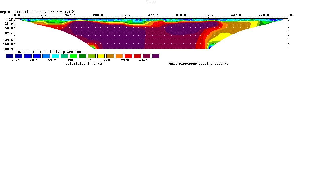
Among the most commonly used techniques are electrical resistivity surveys, MASW (Multichannel Analysis of Surface Waves), and seismic refraction tomography (SRT), each offering specific insights. Electrical resistivity surveys measure the resistance of underground materials to electric current, which helps locate mineralized zones as well as groundwater, faults, fractures, and abandoned mine workings. MASW, meanwhile, evaluates the shear-wave velocity of subsurface materials by analysing surface wave propagation, making it ideal for assessing ground stiffness and mechanical properties essential for safe and stable mine infrastructure design.
Mining Result