Electrical Resistivity Tomography (ERT)
Resistivity surveys have been used in hydrogeological, mining, and geotechnical investigations. Early 1D methods like resistivity sounding were limited by their inability to detect horizontal subsurface variations. Recent advancements in hardware and interpretation software have led to more accurate 2D and 3D resistivity imaging, which account for both vertical and horizontal resistivity changes. Modern instruments, using configurations such as Wenner, Dipole-Dipole and Schlumberger, automatically collect large datasets that are inverted to generate detailed subsurface resistivity images. These images provide subsurface geological conditions even in the case of complex geology. Further, when combined with seismic refraction data, these images enhance the interpretation of subsurface lithology. While 3D surveys offer greater accuracy, 2D imaging remains more practical and cost-effective, widely used today in engineering geophysical services, in geotechnical investigations and in groundwater exploration. Recent advancements in softwares utilizing FEM and finite difference methods have improved the reliability of the results significantly.
Application of Electrical Resistivity Tomography
- Determination of depth to bedrock
- Locating sinkholes/cave systems
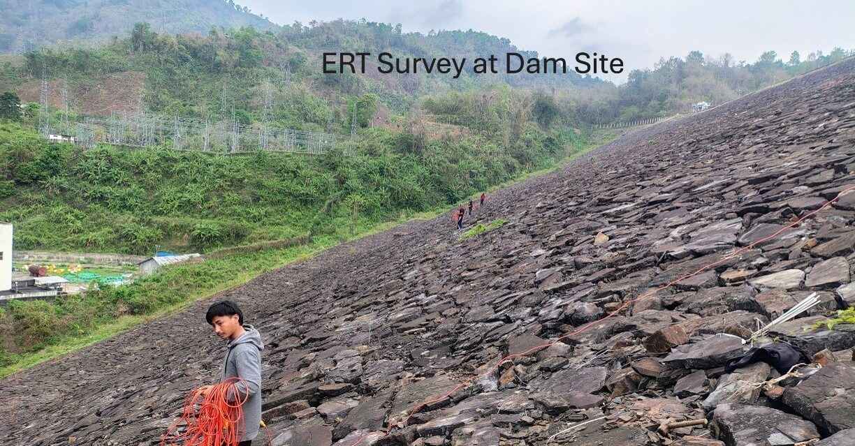
- Dam & Tunnel investigation
- Stratigraphic mapping
- Locating buried channels
- Resistivity measurements for earth mat designs
- Mapping buried dykes and other ore bodies
- Locating fissures, faults, and mineshafts
- Locating tunnels and large-diameter buried utilities
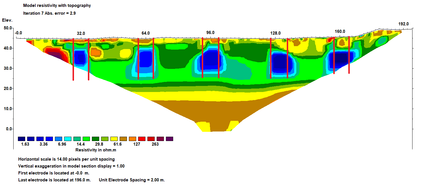
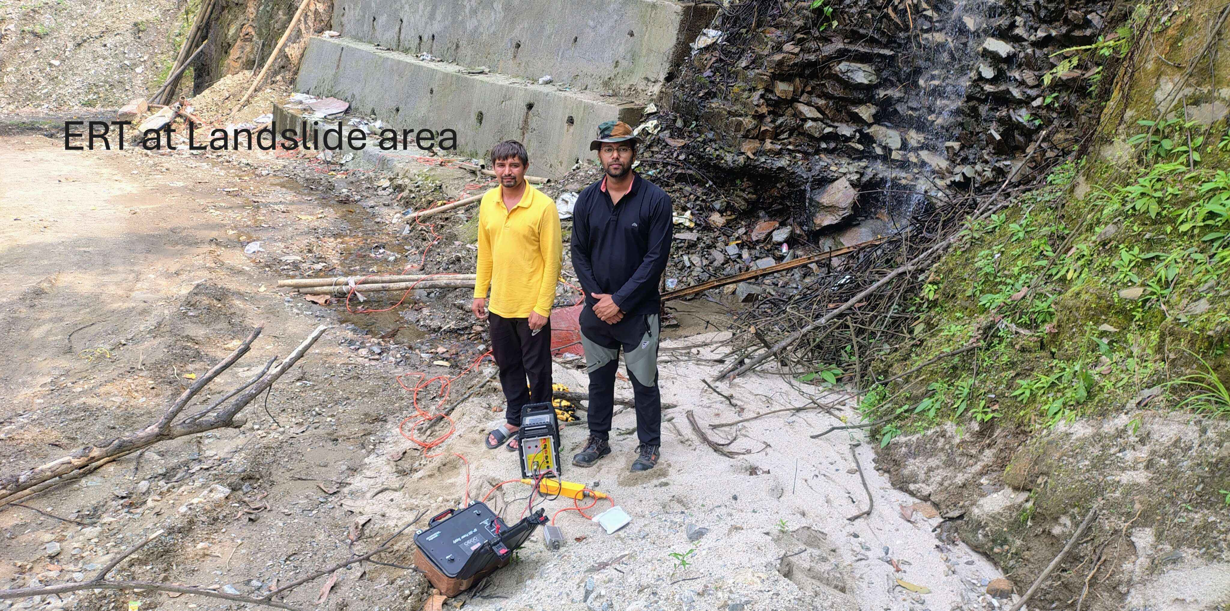
- Landslide investigation for stability design
- Buried foundation mapping
- Time-lapse infiltration and moisture studies
- Soil corrosivity for pipeline assessment
- Landfill Investigation
- Mapping and monitoring leachate plumes
- Mapping and monitoring of groundwater pollution
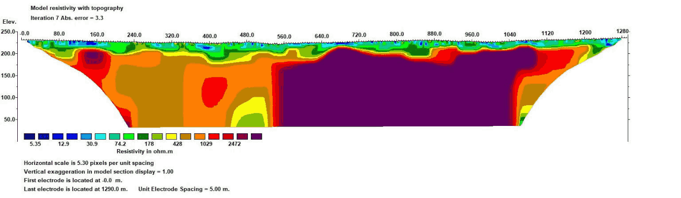
ERT Results
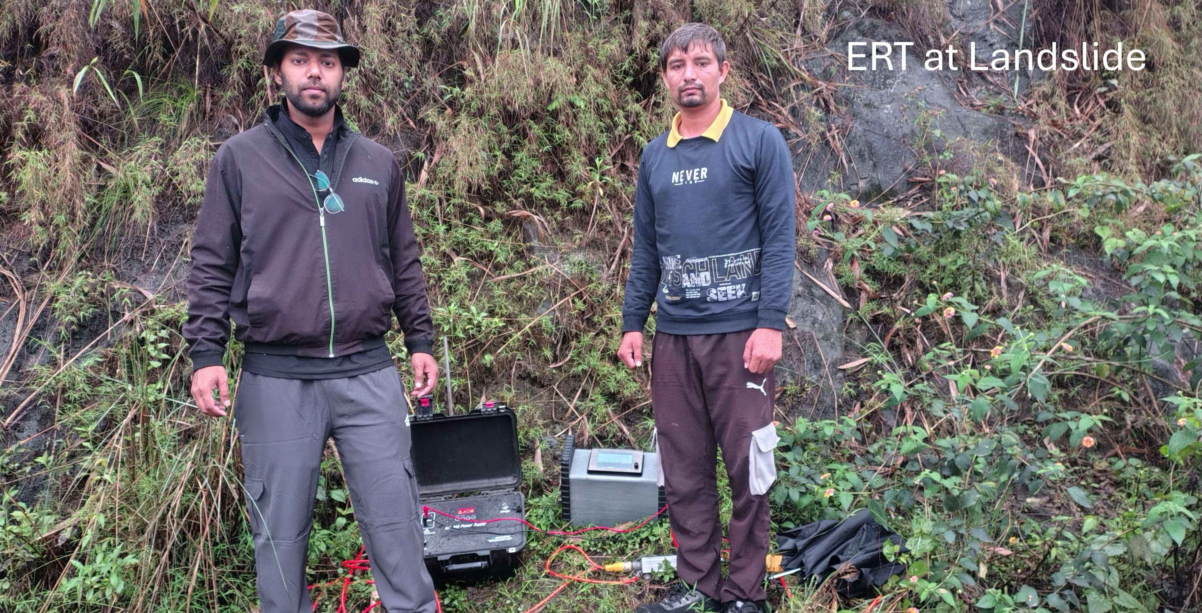
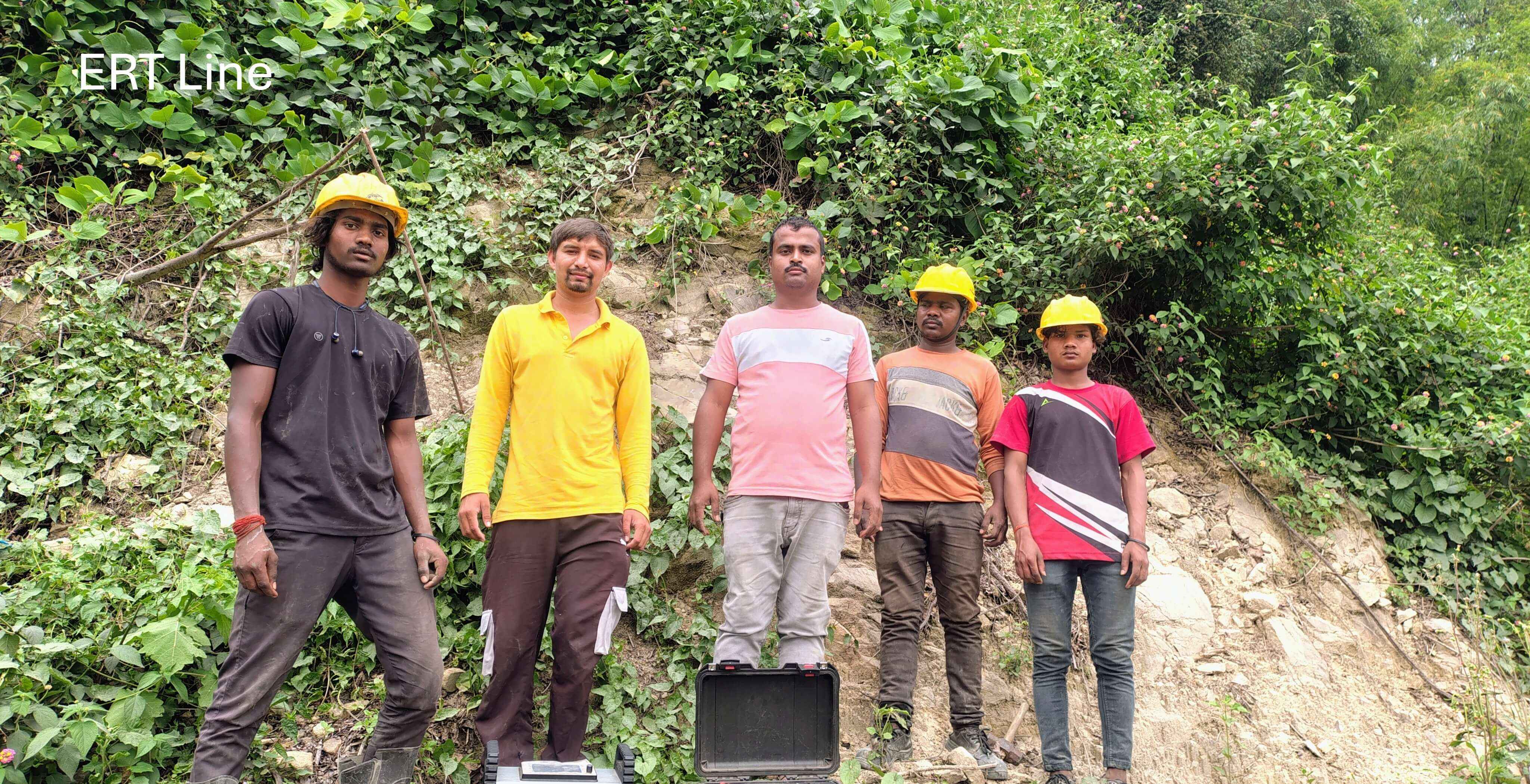
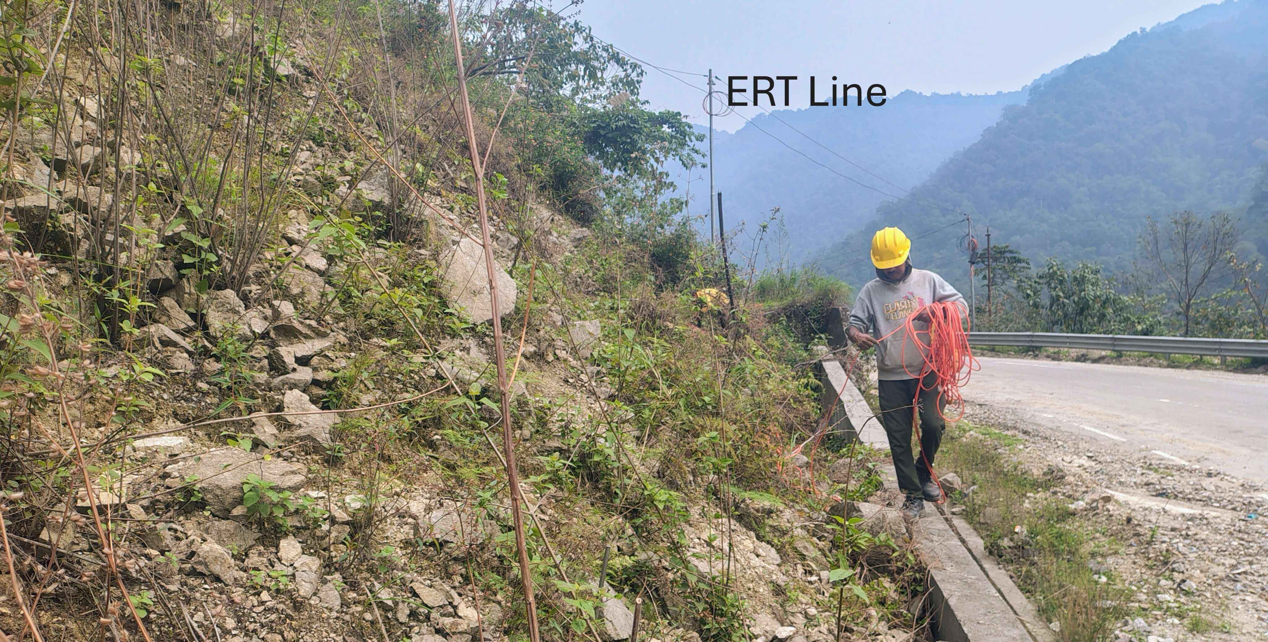
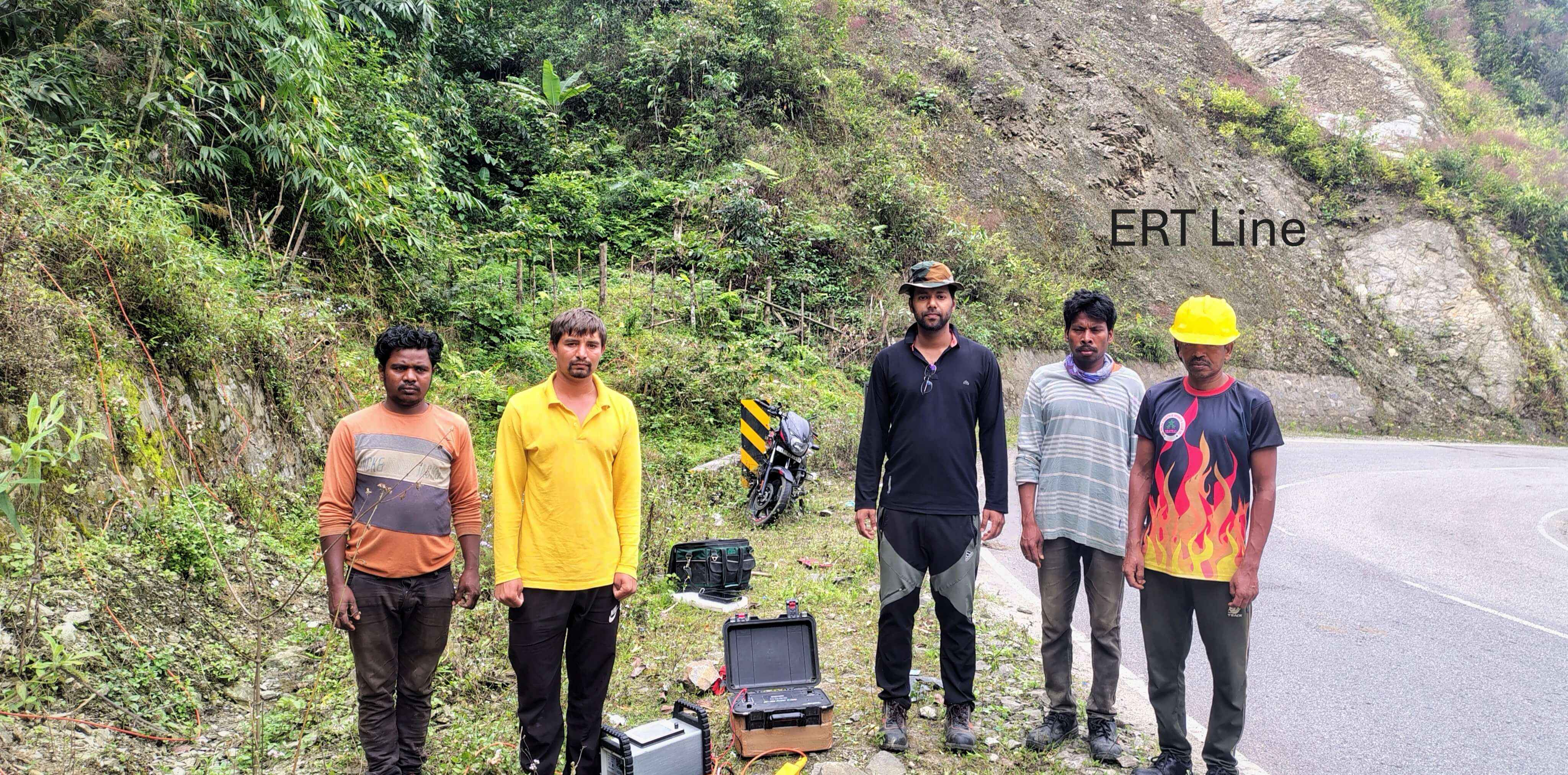
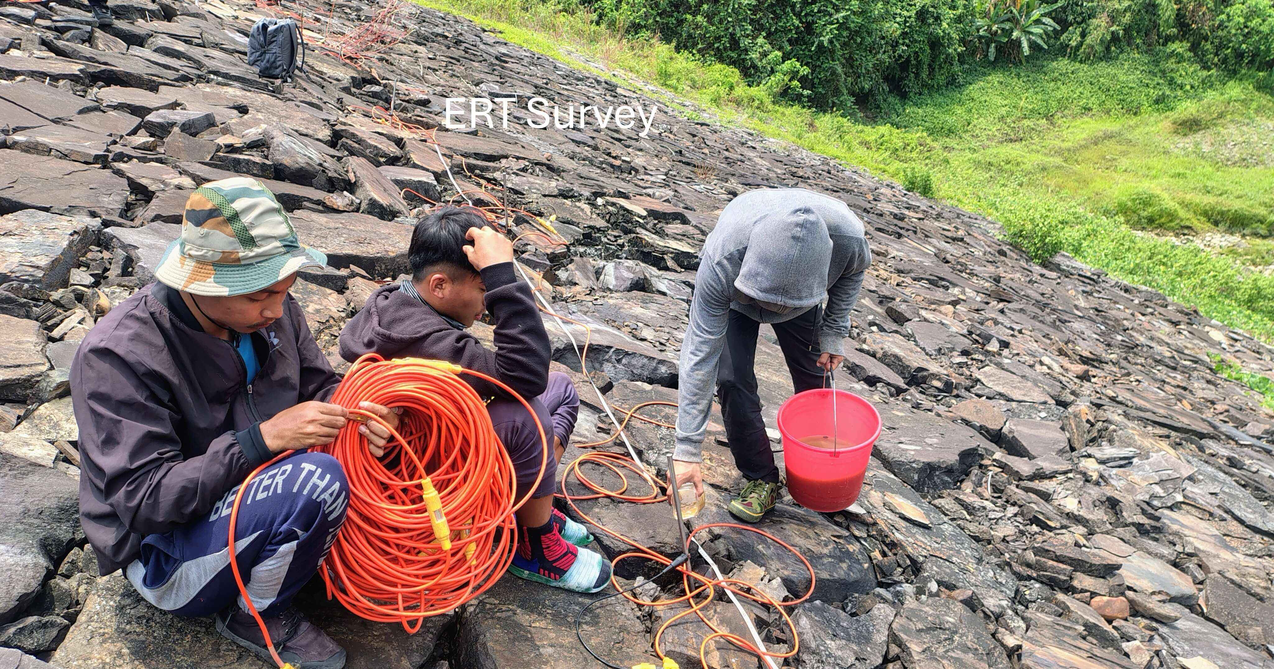
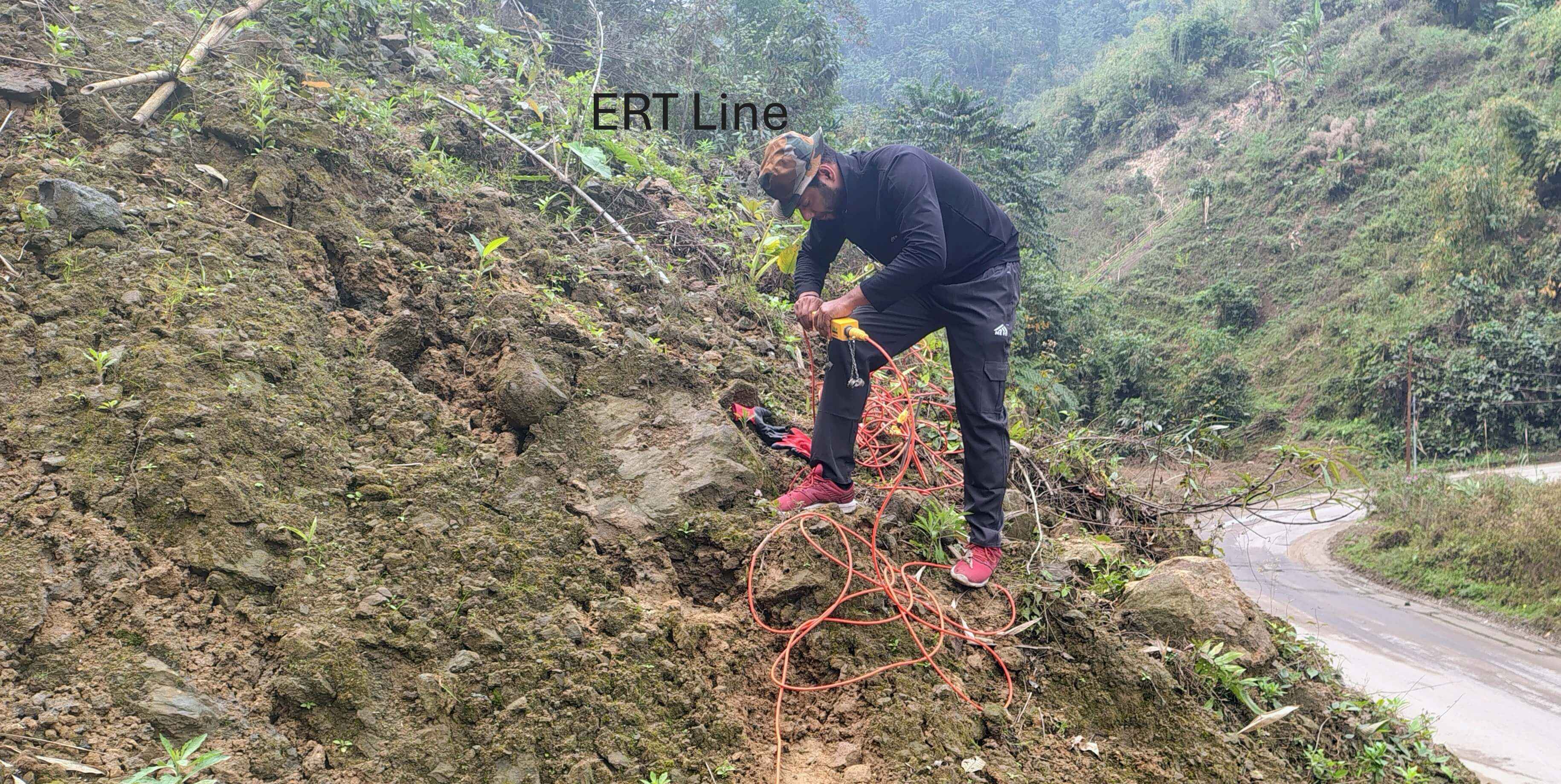
Our Gallery
Our Clients