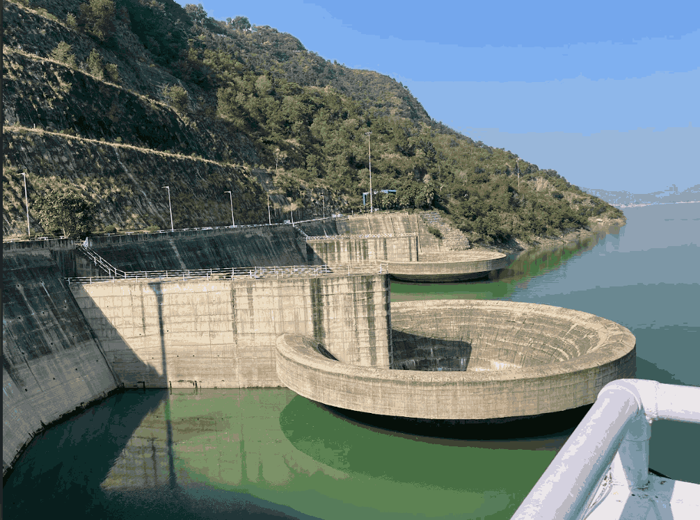
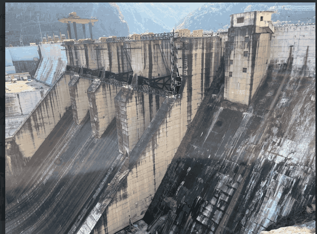
Dam Safety
Advanced geophysical techniques for comprehensive dam safety assessment
Dam Safety Overview
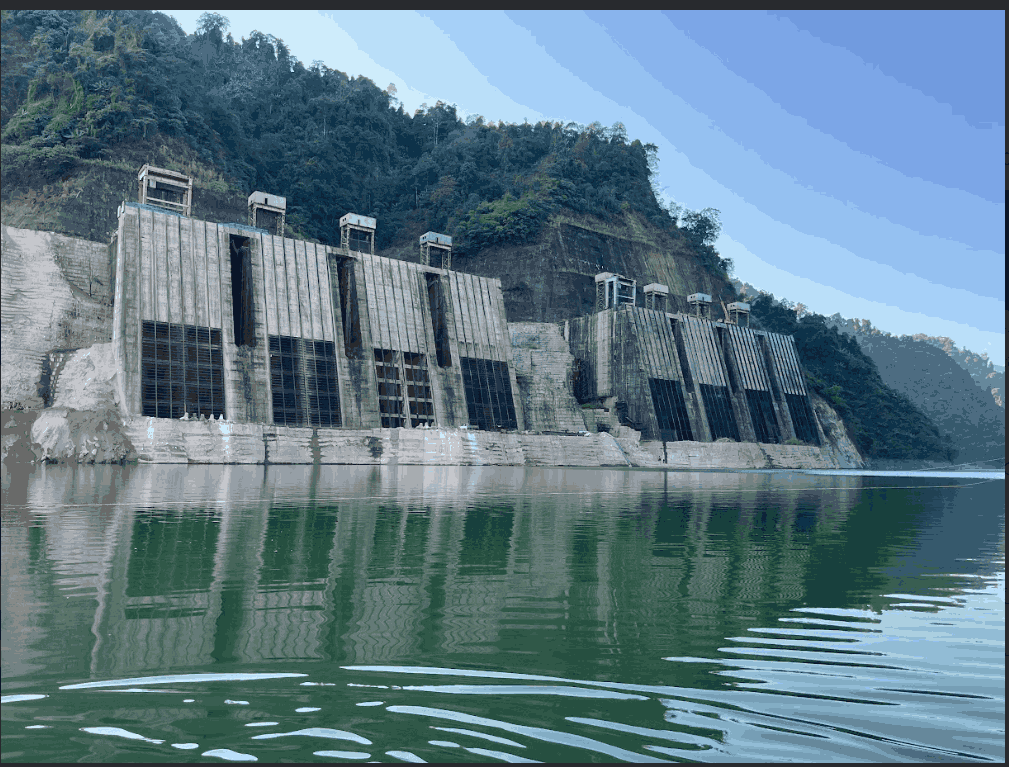
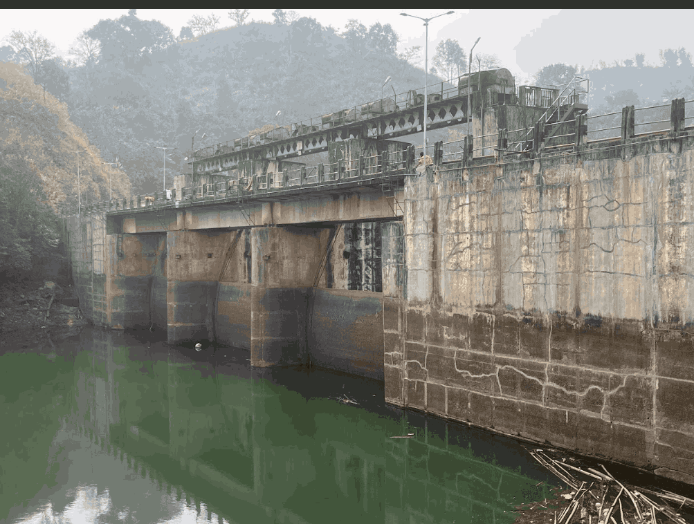
The primary goal of Dam Safety is to encourage and assist the advancement of dam safety practices that will help ensure operation of dams to their full capacities and intended purposes, and also to reduce the risk to lives and property from the consequences of both structural and operational dam incidents and failures.
To reduce the risk of dam failure, regular inspections, effective instrumentation, and diligent monitoring are needed to identify potential problems and take corrective actions to remedy those deficiencies before serious consequences develop. Construction deficiencies, earthquakes, and large floods are some of the reasons for dam deterioration that could lead to failure, but aging and inadequate maintenance are the main causes.
Geophysical methods are increasingly being recognized as essential tools in dam and dike projects worldwide, complementing traditional geotechnical investigations. Both approaches share the common goal of characterizing subsurface conditions—such as soil, rock, and groundwater—at potential dam sites, as well as identifying anomalies in existing structures.
They target similar mechanical properties, including shear modulus, bulk density, porosity, lithology, and fracture patterns, along with details like bedrock depth and fault locations. However, geophysical techniques offer distinct advantages, particularly in detecting water seepage, voids, or sinkholes at a lower cost. Common methods include Electrical Resistivity Tomography (ERT), Electromagnetic Profiling, Ground Penetrating Radar (GPR), and various seismic techniques.
At DM Consulting Engineers Pvt. Ltd., we provide specialized geophysical services to support dam safety investigations. Using advanced, non-invasive techniques, we help identify potential risks and assess the structural integrity of dams—both during construction and throughout their operational life. Our work plays a critical role in ensuring long-term safety, compliance, and performance of dam infrastructure.
Our geophysical surveys assist in detailed site characterization, helping to map subsurface features such as bedrock depth, fault zones, fractures, and areas of weakness that may compromise foundation stability. By applying methods like seismic refraction, electrical resistivity tomography, we offer a clear picture of underground conditions without the need for extensive drilling or excavation.
Summary of analysis of Geophysical Techniques
| Geophysical Method | Type of Detection | Depth of Investigation (DOI) | Acquisition Speed | Cost of Investigation |
|---|---|---|---|---|
Electrical Resistivity Tomography 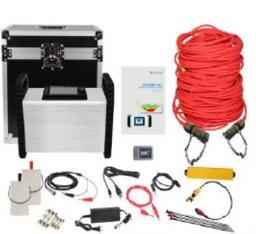 | Detailed assessment: Soil properties and geological structure, seepage and void detection | Site and configuration dependent but quite large Depth of investigation about 200m | Fast to Moderate depend up on the site conditions | Medium |
Self-Potential Methods 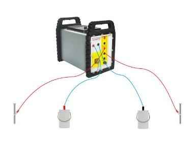 | Fairly Detailed: Detects soil conditions and seepage paths as well as seepage intensity | Depend up on site | Fast | Low |
Ground Penetrating Radar Profiling 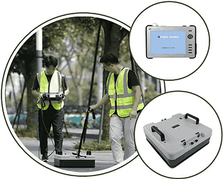 | Fairly detailed: soil properties, material changes, internal structures | Small, generally no more than a few meters | Fast | Low |
Seismic Methods  | Detailed: Mechanical Properties of soil/material, structures/voids | Large enough to reach foundations | Fast to Moderate depend up on the site conditions | High |
Our Gallery
Our Clients